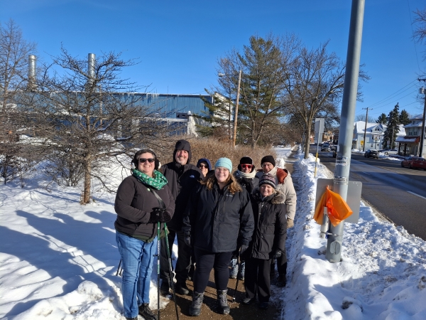
| All AVA sanctioned walk and bike events have a trail difficulty rating assigned to the route. The rating is in two parts. The first part is a numeric value (1-5) that describes the total cumulative amount of incline along the route. The second part is an alphabetic value (A-E) that attempts to describes the terrain the route passes through. The rating is a subjective assignment and everyone might not agree with it. Use it as a guide. |
| 1 |
Very small hills or very little stair climbing. Probably suitable for strollers and wheelchairs. Cumulative elevation gain from Starting Point: up to 200 feet. |
A |
Almost entirely on pavement. |
| 2 |
Some moderate hills and stair climbing. Probably suitable for strollers. May not be suitable for wheelchairs. Cumulative elevation gain from Starting Point: 200 – 1000 feet. |
B |
A significant part of the route is on well-groomed trails with very few obstacles. |
| 3 |
Some significant hill or stair climbing. Not suitable for strollers or wheelchairs. Cumulative elevation gain from Starting Point: 1000 – 2000 feet. |
C |
A significant part of the route is on somewhat difficult terrain (rocky/rooted paths or soft sand.) |
| 4 |
Lots of significant hills or stair climbing. Cumulative elevation gain from Starting Point: 2000 – 3500 feet. |
D |
A significant part of the route is on very difficult terrain. |
| 5 |
Many steep hills. Cumulative elevation gain from Starting Point: more than – 3500 feet. |
E |
The majority of the route is on very difficult terrain. |